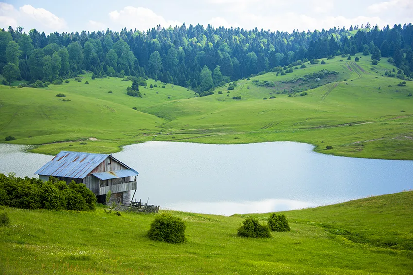
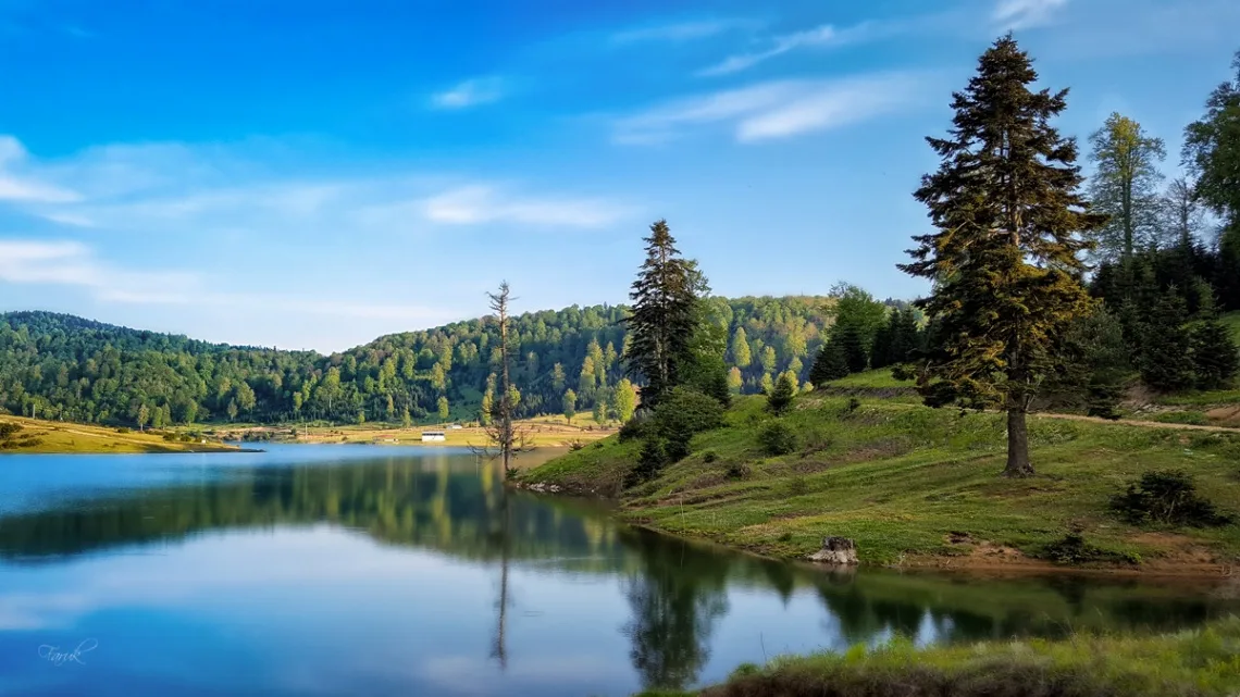
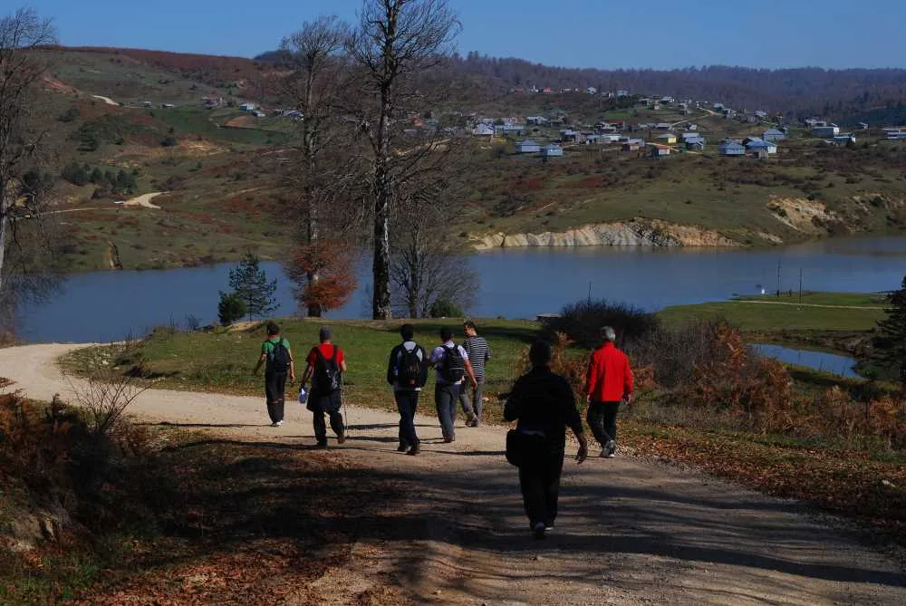
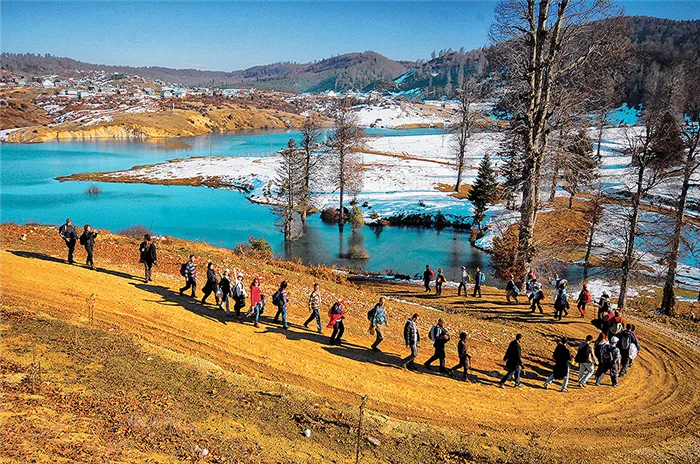
Acelle Plateau is a natural highland area in Sakarya's Akyazı district at an altitude of 1,200 meters, famous for its mixed forests, well-kept wooden houses, and scenic hiking trails extending to Karagöl.
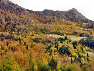
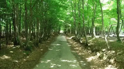
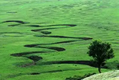
Situated at an elevation of 1,200 meters, approximately 35-40 km south of the Akyazı district center, Acelle Plateau is one of the most comprehensive plateaus in Sakarya. It boasts a mixed flora where broad-leaved trees blend with conifers; rhododendron and boxwood clusters in the forest depths add a unique depth to this green landscape.
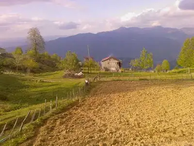
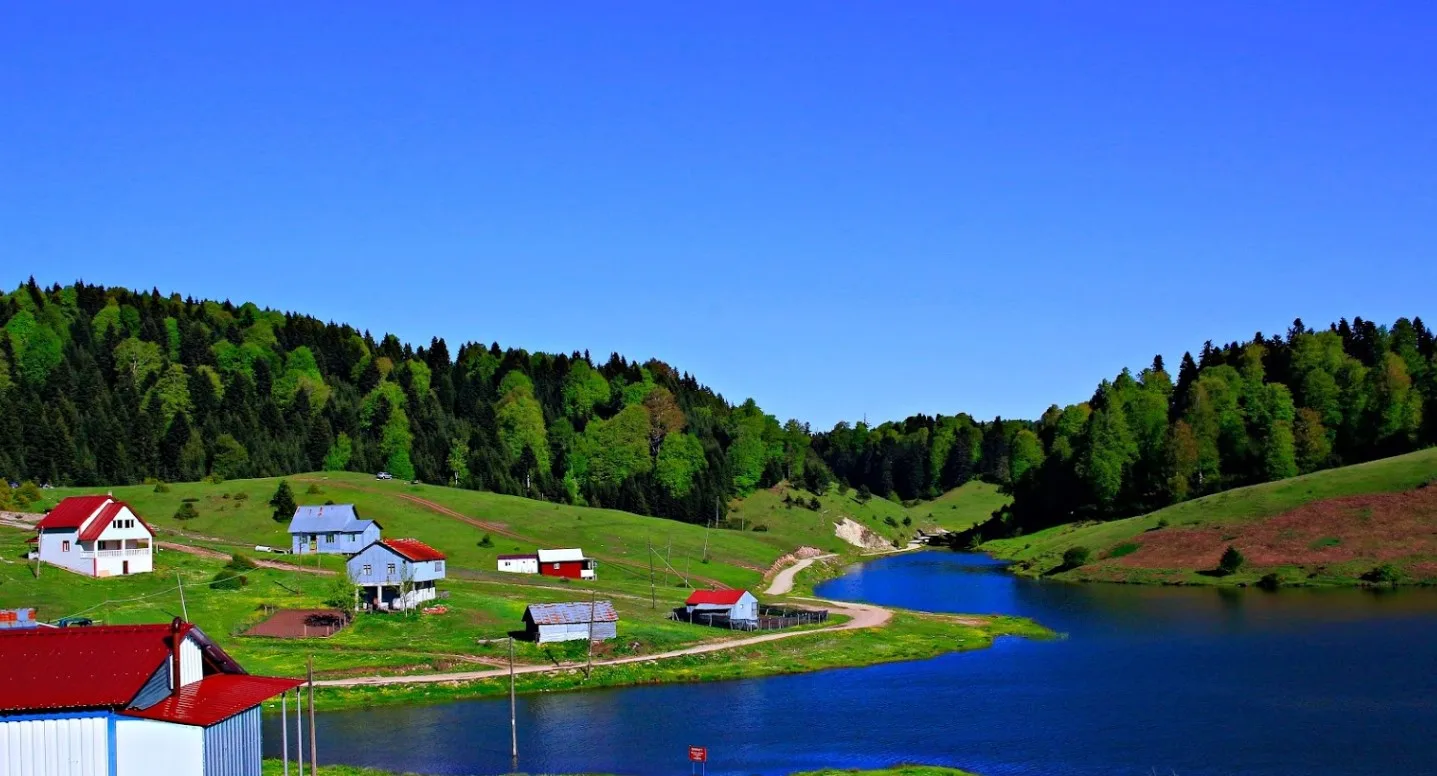
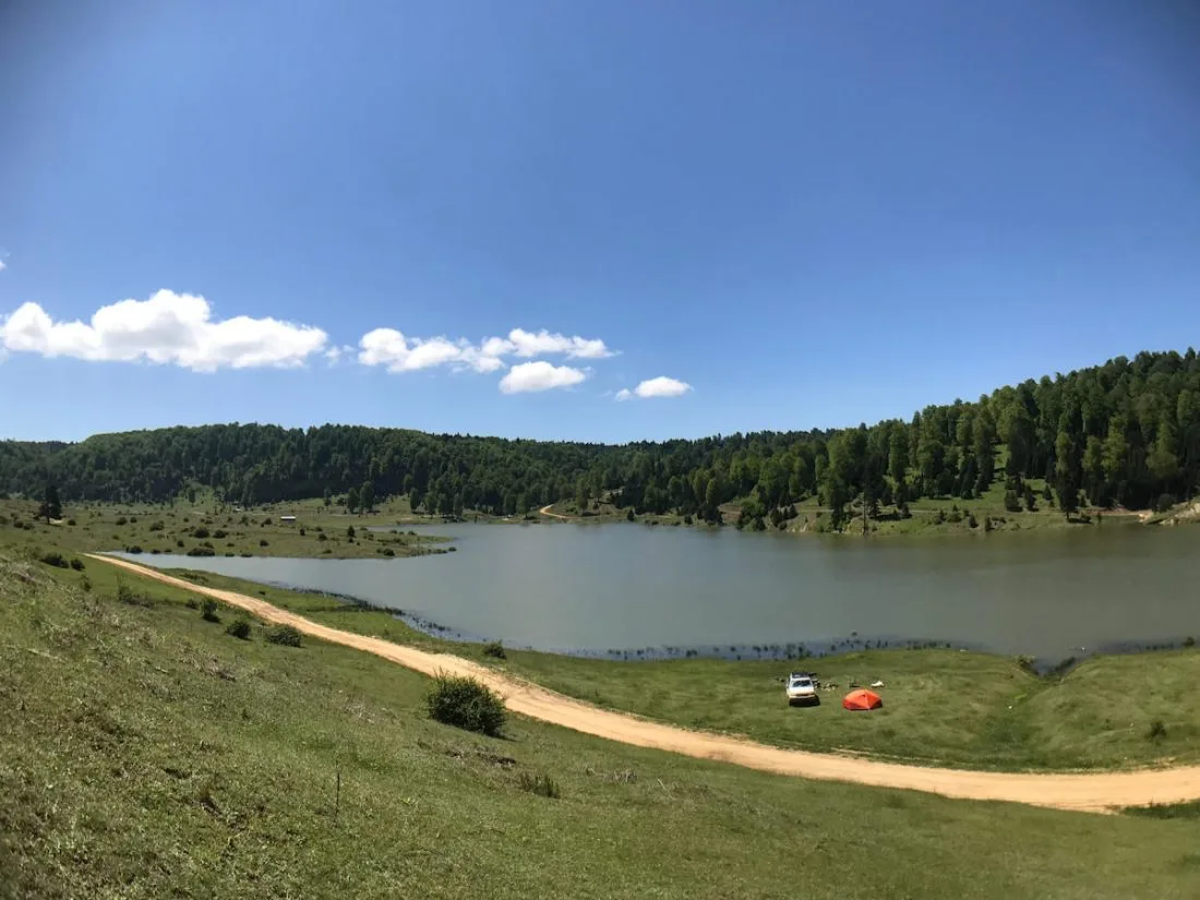
Upon entering the plateau, neat and well-kept traditional wooden houses welcome you. The pond located in the western section is an excellent spot for camping, thanks to its tranquil setting away from the houses. Flat clearings among the trees are well-suited for pitching tents. Acelle Plateau is also the endpoint of the Karagöl–Acelle route, listed among Turkey's top 10 hiking trails. Stretching for roughly 15 km, this trail traverses several plateaus and ponds. For those seeking longer routes, a 28 km circuit encompassing 7 plateaus and 5 ponds is also an option.
Best Time to Visit
The best period to visit Acelle Plateau is during the summer season from early June to late September. During these months, roads are open, the weather is cool, and the vegetation is at its most vibrant. The plateau can get crowded on July and August weekends; weekdays offer a much more peaceful experience for those wishing to avoid the crowds. From October onward, temperatures in the high altitudes drop quickly, and roads may close.
How to Get There
To reach Acelle Plateau, you first need to get to the Akyazı district from Sakarya city center. From Akyazı, drive south following the forest road leading to the plateau for about 35-40 km to reach the entrance. Most of the road is paved; however, as you approach the plateau, you may encounter unpaved dirt sections. Driving a high-clearance or 4x4 vehicle is safer. As public transportation options are extremely limited, a private or rental car is the most sensible choice.
Hiking Trails
Acelle Plateau lies at the intersection of several hiking routes. The most popular trail is the roughly 15 km route extending from Karagöl Plateau to Acelle Plateau, recognized among Turkey's top 10 hiking trails. For those looking for a longer and more comprehensive adventure, the 28 km loop connecting 7 plateaus and 5 ponds can be preferred. The highest point on this route reaches about 1,288 meters. Do not forget to pack proper hiking boots, sufficient water, and food before setting off.
How Many Days to Spend
A day trip is sufficient for those who simply want to explore the plateau and spend time around the pond. If you plan to hike the Karagöl–Acelle trail or undertake the 7 plateaus and 5 ponds tour, camping for 1–2 nights allows you to complete the route comfortably while experiencing the morning tranquility of the highland.
Food & Drink
Acelle Plateau lacks regular restaurant or market infrastructure. Before heading up to the plateau, you should fulfill your food, drink, and fuel needs in Akyazı district center. If you plan to camp, make sure to bring a portable stove and adequate supplies. Local eateries and supermarkets are available in Akyazı.
Photography Spots
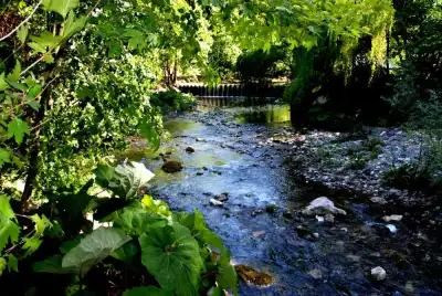
The pond on the western side of the plateau offers striking photographic compositions with forest reflections. In the early morning hours, fog hangs over the forest canopy, making it the most rewarding time for both light and atmosphere. The rhododendron clusters and various plateau transitions encountered along the Karagöl–Acelle trail are also high-value photography spots. A wide-angle lens and a polarizing filter will be useful here.
Things to Keep in Mind
The final stretches of the road to the plateau include unpaved dirt sections; during rainy weather, these parts can become muddy and slippery. Using a high-clearance vehicle enhances safety. When lighting fires in the campsite, be mindful of forest fire risks and follow local rules. Mobile signal coverage on the plateau can be weak or non-existent; complete important communications while at lower elevations. Make it a habit to carry your trash out with you.
This content originates from neresigezilir.com and may not be copied without permission.
Acelle Plateau Videos
Acelle Plateau videos load when you open this section to keep the page fast.
Show videos
FAQ
Updated: