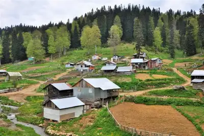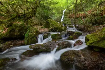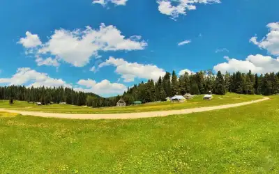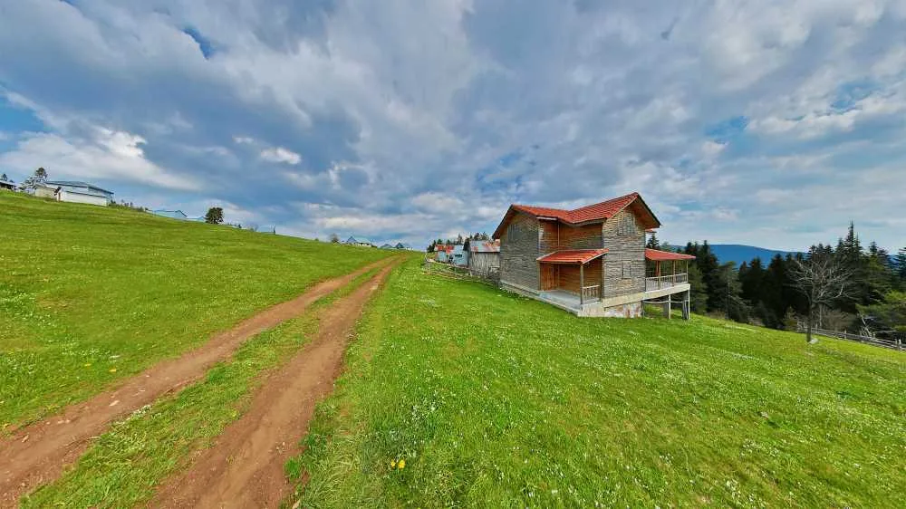
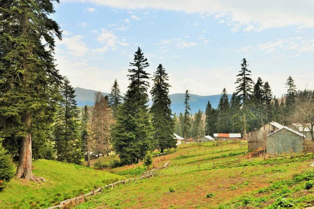
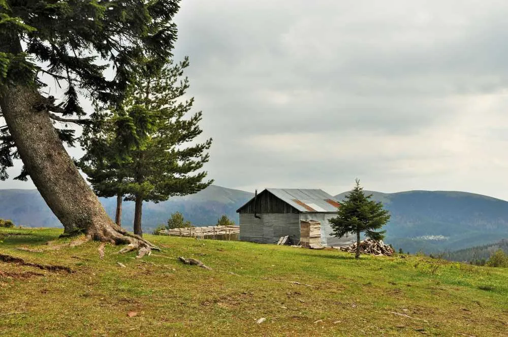
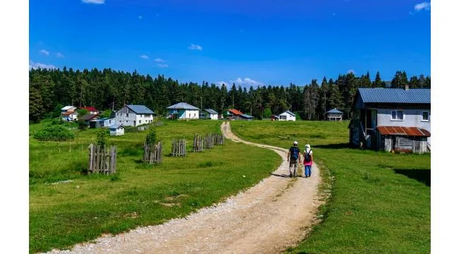
Sakarca Yaylası, Bolu-Düzce sınırında 1.550 metre rakımda yer alan, doğu yamacında çam, batı yamacında kayın ormanıyla çevrili ve kekik kokusunun belirgin olduğu ücretsiz bir yayla.
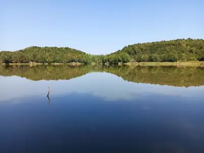
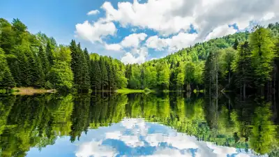
It's actually difficult to draw the exact boundary of Sakarca Yaylasi, as part of it lies in Bolu and part in Düzce. It's 25 kilometers from Kaynaşlı district, 40 kilometers from Düzce city center, at an altitude of 1,550 meters. The eastern slope of the plateau is covered with pine forest and the western slope with beech forest; as you walk, you notice how these two forest textures merge into each other.
Thyme scent is the most distinctive feature of the plateau. During summer months, as you wander through the grasses, this aroma hardly ever leaves you. The local villagers know this too, and some visitors collect and take home thyme. Since the plateau remains outside busy tourism routes, it's peaceful, which is why it's preferred for picnicking and nature walks.
Guide's Note
When to Visit Sakarca Yaylasi
Plateau tourism is generally active from late May to September. The situation at Sakarca is no different; after snow melts, June-August is the period with the most lush greenery and mildest weather. Road conditions can be challenging in winter months; if you're planning a winter visit, it's worth getting local information.
How to Get There
It's approximately 25 kilometers from Kaynaşlı district center and 40 kilometers from Düzce city center. Public transportation is not practical because the plateau is located somewhat inland from village roads. Going with your own vehicle is the most convenient option; since there may be stabilized road sections in the final portion, plan according to your vehicle's condition.
How Much Time Should You Allocate
2-4 hours is sufficient for walking, picnicking and photography. If you're thinking of camping, you can stay overnight and return the next day. However, infrastructure is limited, so you need to bring all your equipment.
Other Nearby Stops
Topuk Yaylasi and its pond, which are connected to Kaynaşlı, are located close to Sakarca and can be added to the same day's itinerary. There are other plateau tourism stops in the area; for those who want to visit several plateaus on the same route, the Kaynaşlı surroundings is a good starting point.
Things to Know Before You Go
There are no facilities, shops or food points on the plateau; you need to bring food and drinks with you. Mobile phone coverage may weaken depending on the area. Since it's a border region, some maps show the plateau's location on the Bolu side, while others show it on the Düzce side. If you're confused, going through Kaynaşlı is the clearest route.
Good Photography Spots
The boundary line where pine and beech forests meet is one of the most striking viewpoints of the plateau. The light mist that forms over the meadows in the morning creates a good background for wide-angle shots.
General Information About the Plateau
Sakarca Yaylasi at 1,550 meters altitude is administratively shared between two provinces. This situation is one of the interesting aspects of the plateau; as you move from one slope to the other, you actually cross from one city to another. Natural vegetation is rich, especially the abundance of thyme is well known to the local population.
This content originates from neresigezilir.com and may not be copied without permission.
Sakarca Yaylasi Videos
Sakarca Yaylasi videos load when you open this section to keep the page fast.
Show videos
FAQ
Updated: