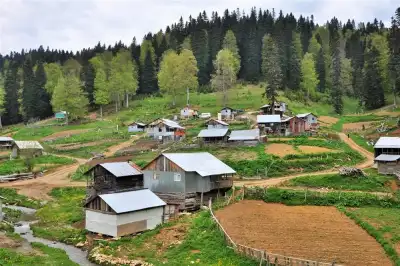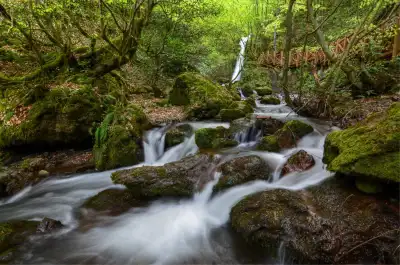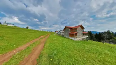
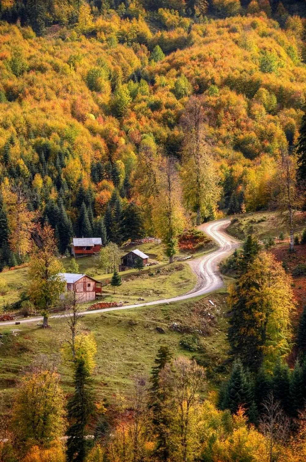
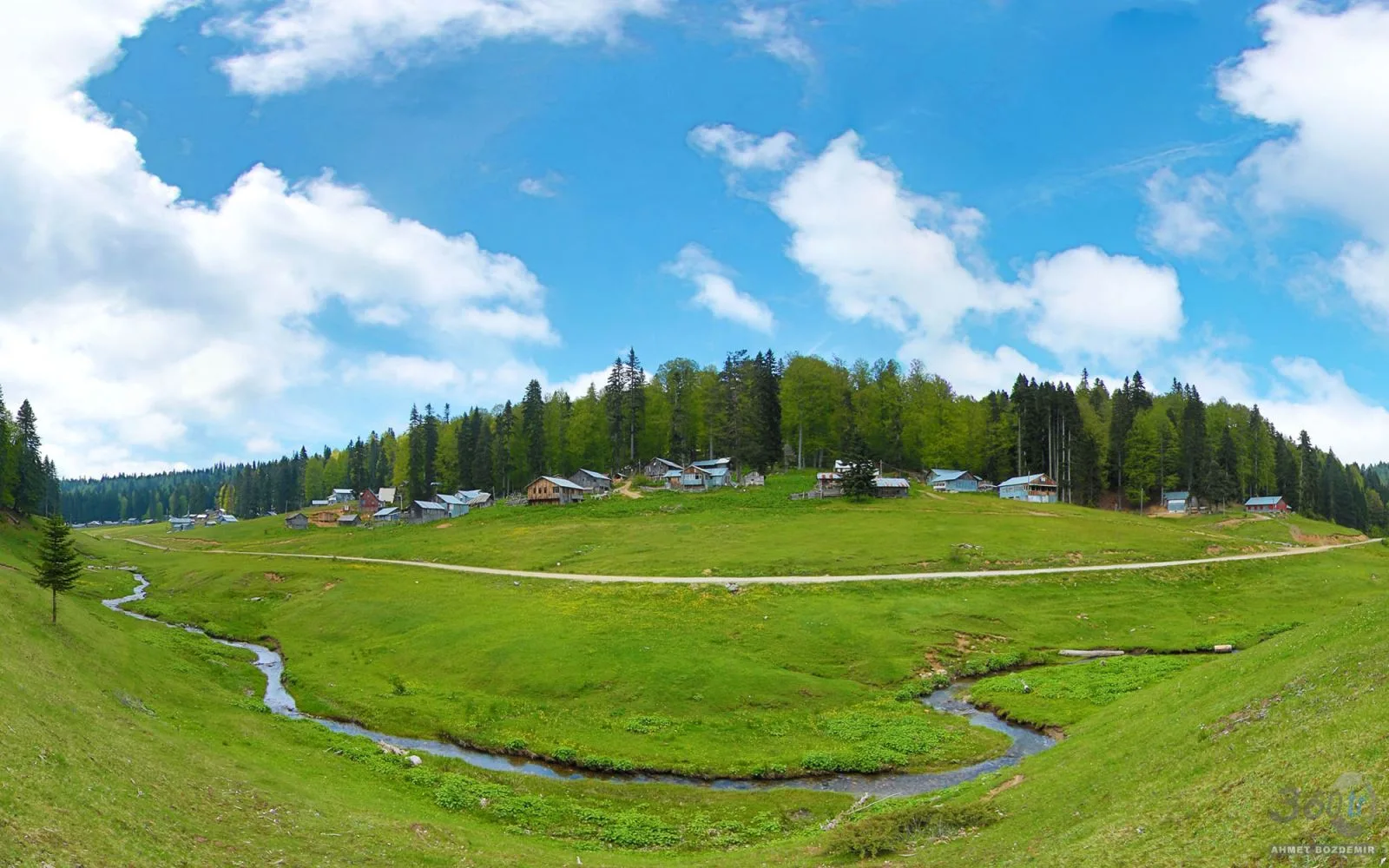
Şehirli Yaylası, Düzce merkeze 33 kilometre uzaklıkta 1570 metre rakımda yer alan, çam ormanlarıyla çevrili bir yayla olup kamp, piknik ve doğa yürüyüşü için ücretsiz olarak açıktır.
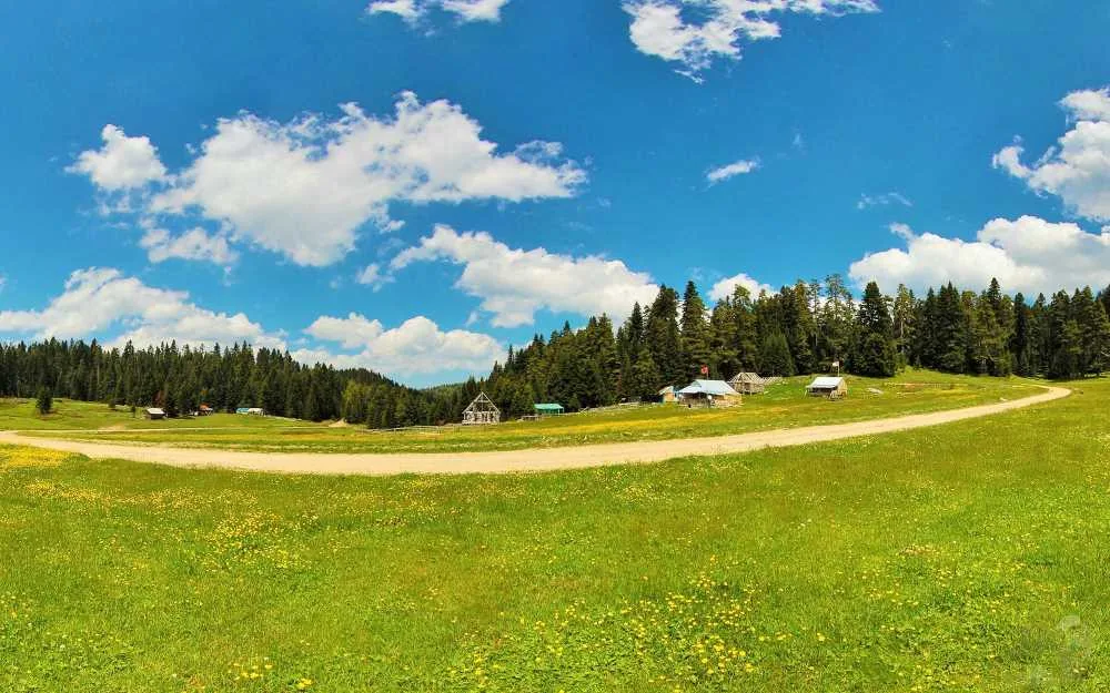
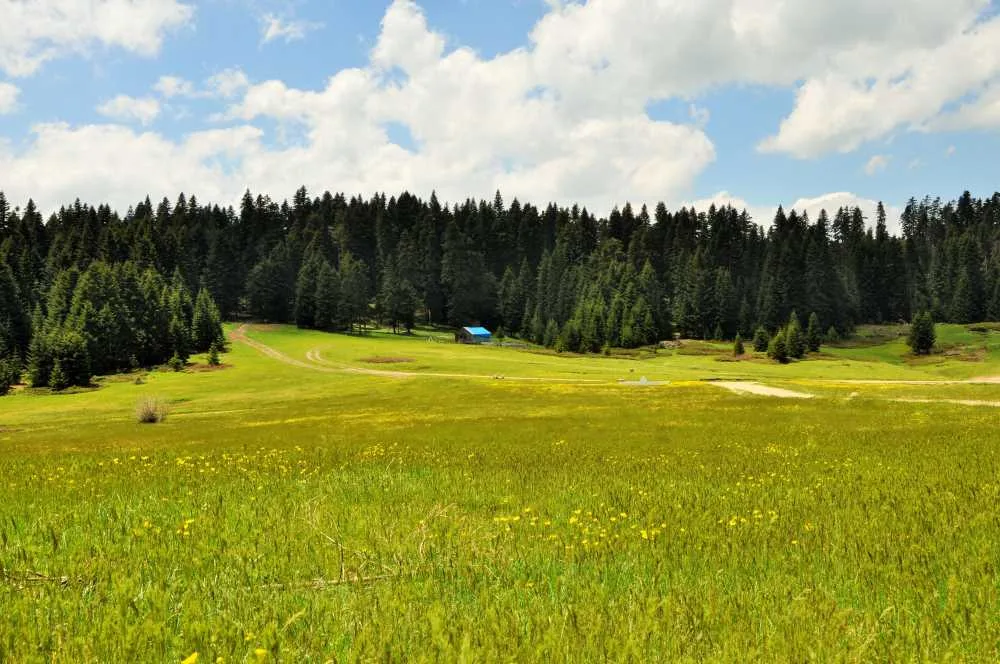
Sehirli Yaylasi is located 33 kilometers from Duzce city center, at 1570 meters elevation. The surrounding area is covered with pine trees reaching toward the sky, and the plateau houses still maintain their wooden character. It's a quieter, less crowded place compared to other well-known Duzce plateaus like Balıklı and Topuk.
Rated 4.4 stars on Google Maps, the plateau is known for its open-air picnic opportunities and flat terrain suitable for pitching tents. There is also a small mosque in the area. For those interested in hiking and photography, there are trails winding through red pine and hornbeam forests; it's one of the getaway spots for Duzce residents seeking coolness during summer months.
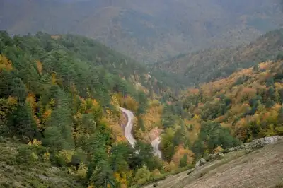
Since the road passes through forest, reaching it by vehicle requires some caution. Its location on a route connected to nearby plateaus like Kocayayla, Kapanca, and Sinekli allows visitors to typically explore multiple points rather than just one plateau.
Guide's Note
When to Visit
The plateau is at its most vibrant between June and September. Roads open after the snow melts, and the smell of grass and pine is strongest during this period. In winter months, snow cover can be permanent due to the elevation, making access difficult. In autumn, you can expect misty mornings and clear skies by midday.
How to Get There
Traveling by private vehicle from Duzce city center is the most practical route. The road passes through forest, so an SUV-type vehicle is preferable to a low-clearance car. Public transport options are limited: without your own vehicle or an organized tour, access becomes difficult. An alternative route via Beyköy is also used.
Route Recommendation
Sehirli Yaylasi is more meaningful when visited together with surrounding plateaus. A popular route starts from Beyköy and continues through Sehirli, Kocayayla, Kapanca, and Sinekli. Those interested can continue to Abant Peak. For day-trippers, the route between just Sehirli and Kocayayla plateaus provides a sufficient tour.
How Much Time to Allocate
For a solo visit, 2-4 hours is sufficient. If you plan to have a picnic and go hiking, allocating half a day is more comfortable. If camping is planned, staying overnight is recommended to experience the morning mist and light.
Things to Pay Attention To
The plateau road is not asphalt but rather a dirt-stabilized forest road. It can become muddy after rain. Cell phone signal can be weak, so it's helpful to download route information in advance. If pitching tents, be careful about fire due to fire risks, and carry your trash out.
Good Photography Spots
The openings in the pine forest and the areas in front of wooden plateau houses are the most popular photography locations. Photos taken in the early morning hours as mist filters through the pine tree trunks stand out. Sunset direction can be followed from open areas.
General Information
Sehirli Yaylasi is one of Duzce's lesser-known plateaus that has preserved its natural character. Basic amenities like a mosque and open areas are available; don't expect major tourist infrastructure, which is actually what keeps the place quiet. It is rated 4.4 stars on Google with 57 reviews.
This content originates from neresigezilir.com and may not be copied without permission.
Sehirli Yaylasi Videos
Sehirli Yaylasi videos load when you open this section to keep the page fast.
Show videos
FAQ
Updated: