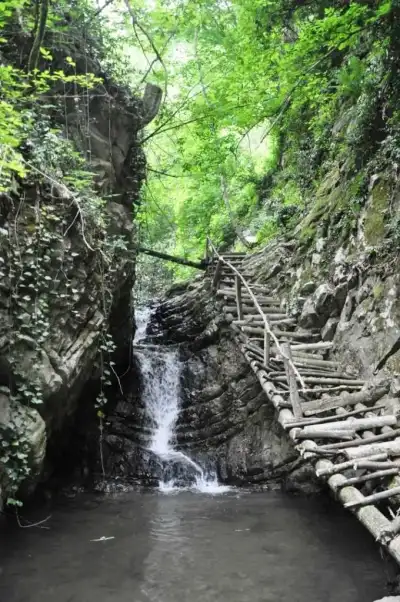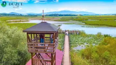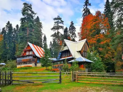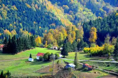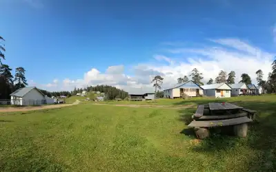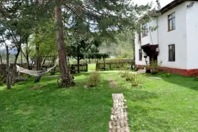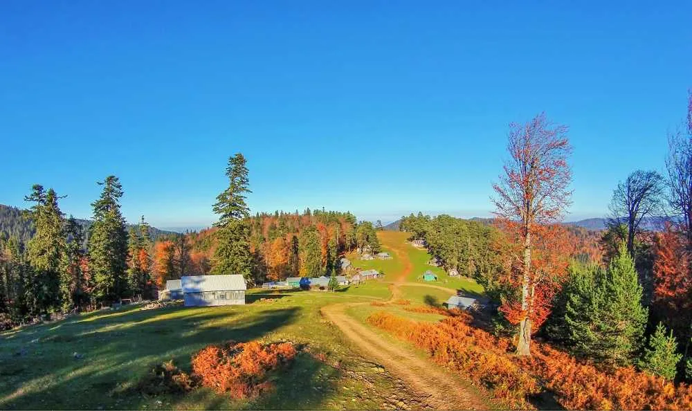
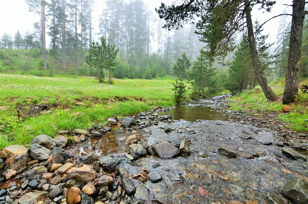
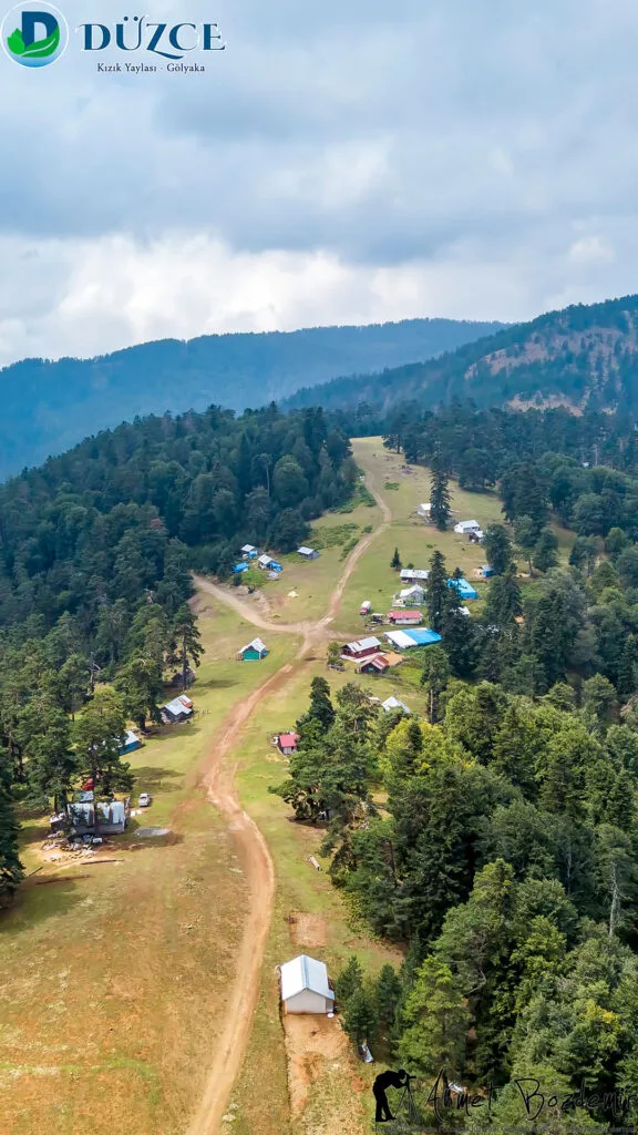
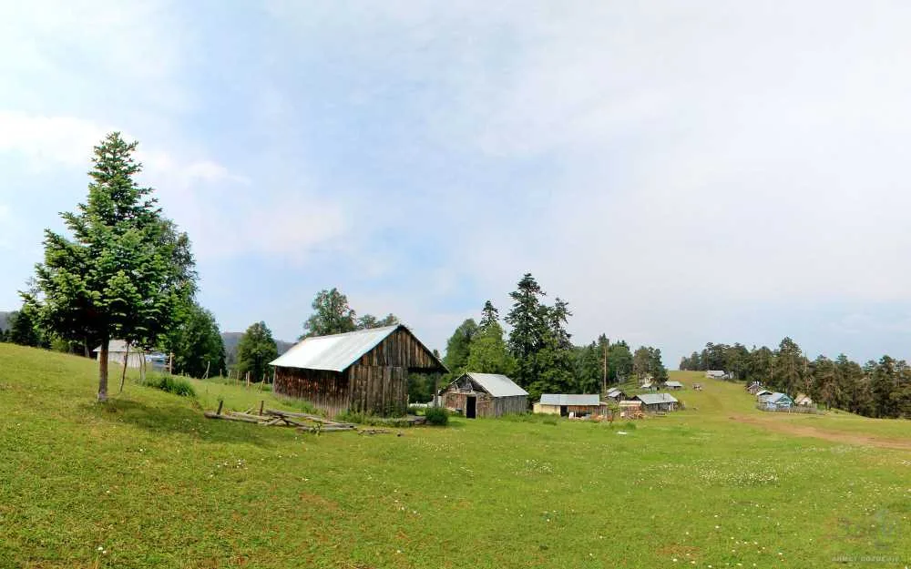
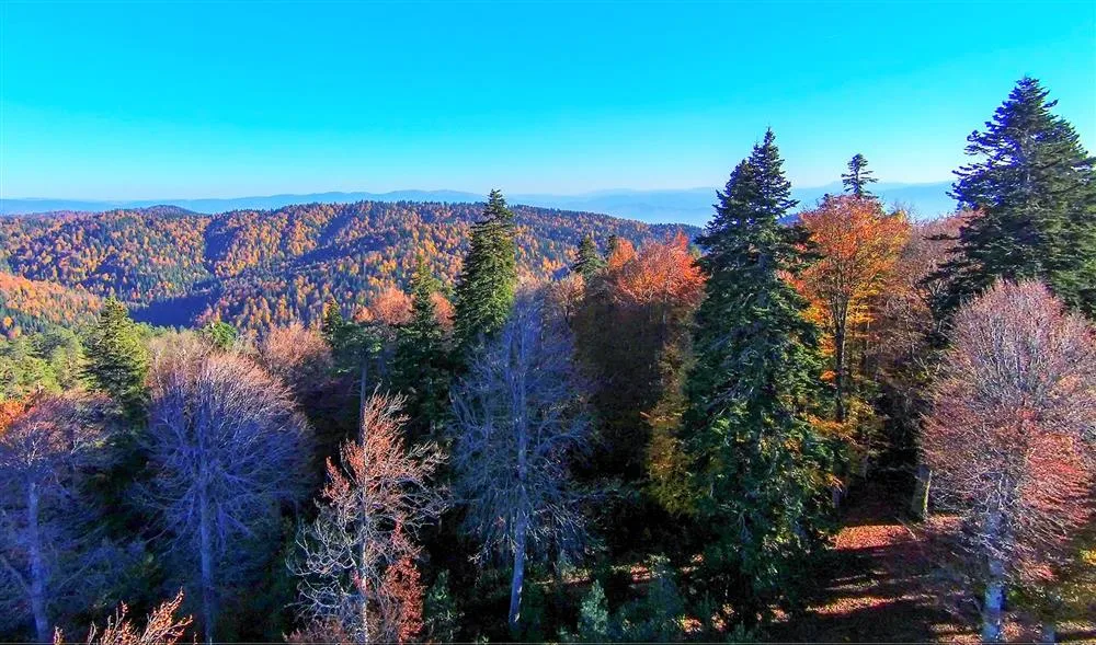
Kızık Yaylası, Düzce'nin Gölyaka ilçesinde 1.600 metre rakımda yer alan, Samanlı Dağları'nın yeşil kesimlerinde uzanan ve yürüyüş ile kamp için tercih edilen ücretsiz bir doğa noktasıdır.
Kızık Plateau is situated within the borders of Gölyaka district, Düzce, at an altitude of 1,600 meters. It is 38 km from the city center and 24 km from the nearest settlement. This distance keeps the plateau away from crowds. Those who come here generally seek to escape the daily city noise.
The plateau is on a ridge considered a continuation of the Samanlı Mountains. There is a well-known route for hikers in the region: the Balıklı Plateau - Kızık Plateau loop, approximately 20 km long and reaching a maximum of 1,629 meters, a challenging trail with technical terrain. This route alone demonstrates how untouched the area around Kızık Plateau is.
Within Gölyaka's green nature, this plateau is particularly favored in summer due to its high-altitude coolness. The somewhat difficult access usually means that visitors are well-prepared.
When to Visit?
The high altitude keeps this place cool even in summer. The period between June and September is the most suitable. Roads become more usable after the snow melts. Road conditions can become difficult in winter; if you plan to go during this period, do not set out without getting local information.
How to Get There?
You pass from Düzce city center to Gölyaka district, and from there, you ascend to the plateau via local roads. The last section of the total 38 km distance is likely a stabilized road. It is safer to go with your own vehicle, preferably one with high ground clearance. Public transport is not practical on this route.
Hiking Route
There is a known route in the region: the Balıklı Plateau - Kızık Plateau loop. It is a challenging trail, 20 km long with an elevation gain of 724 meters; the maximum altitude reaches 1,629 meters. It can take between 5-7 hours for experienced hikers. Instead of going alone, go in a group and with good equipment.
How Much Time Should You Allocate?
Half a day is enough just to see the plateau and take a short walk. If you plan to camp overnight, plan for one day and one night. If you are going for a long route hike, you need to allocate a full day.
Things to Pay Attention To
Part of the road may be dirt or stabilized, and it can become difficult after rain. Your chances of finding a market or shop nearby are low. Obtain your water and food from Gölyaka or Düzce city center. Phone reception may also be weak, so noting down directions in advance will make your job easier.
Good Spots for Photography
The open areas of the plateau offer good opportunities for shots taken in the morning as the fog dissipates. The general silhouette of the Samanlı Mountains can be seen from high points along the hiking route.
General Information About the Plateau
Kızık Plateau is one of Düzce's lesser-known but high-value natural spots. This plateau, connected to Gölyaka district, remains outside crowded tourist routes. This makes it valuable for those seeking tranquility.
This content originates from neresigezilir.com and may not be copied without permission.
Kızık Plateau Videos
Kızık Plateau videos load when you open this section to keep the page fast.
Show videos
FAQ
Updated: